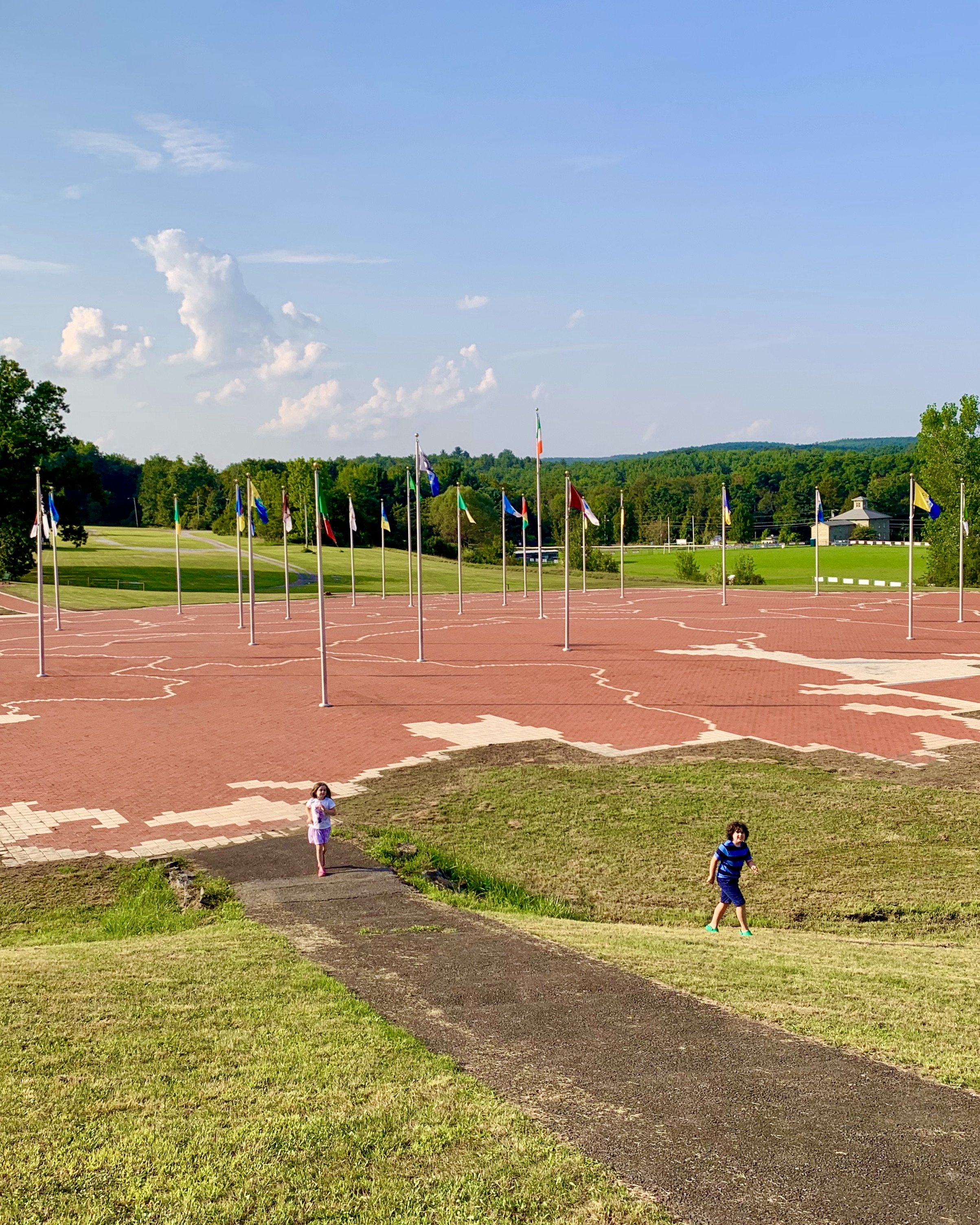
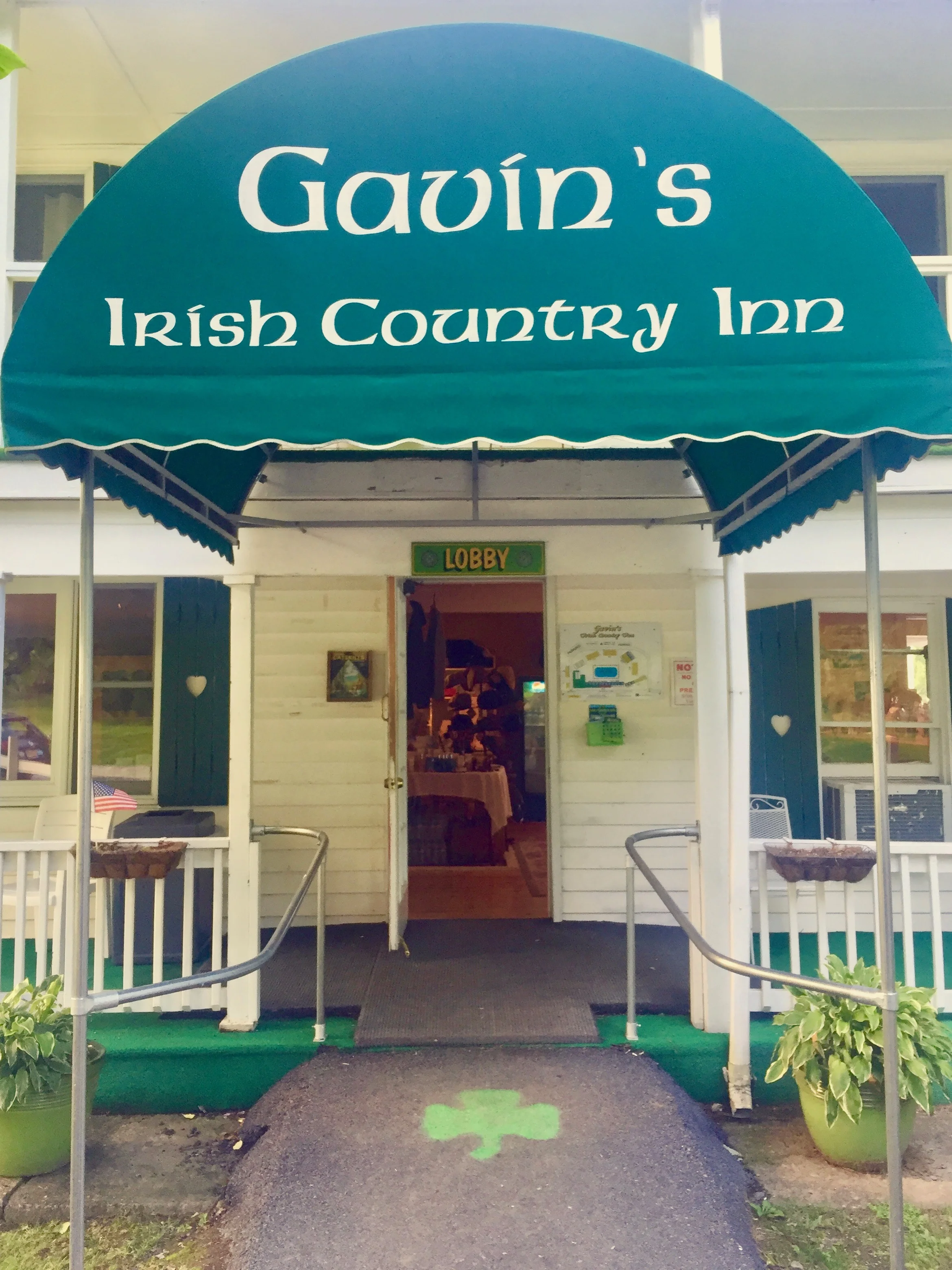
The World’s Largest Map of Ireland lives in the Emerald Isle of the Catskills. Constructed of over 170,000 bricks in 2001, this awe-inspiring map lives at the Michael J. Quill Irish Centre in East Durham. Each of the 32 counties of Ireland are represented and marked with their county flag. A bricked path bridges the gap between a map of Greene County and Ireland.
Brooklyn family.
Catskills double-wide.
Wildlife, design, food & drink, travel, real estate, country characters, adventures, waterfalls.


